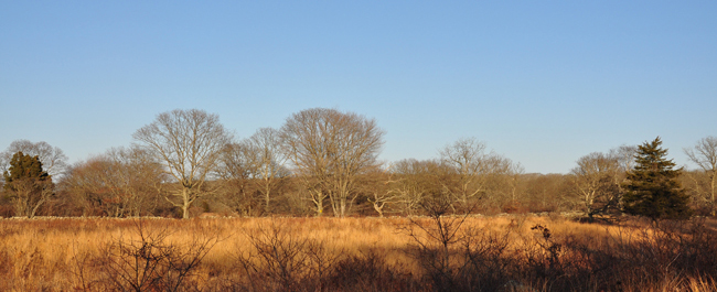
Waskosims Rock
In 1986, a developer purchased 145 acres of pristine, unspoiled land situated along the town line of Chilmark and West Tisbury, with the intent to subdivide the land to the maximum extent. In 1990, the property was purchased by the MV Land Bank for $3.5 million, and their ensuing stewardship of the Waskosims Rock Reservation has provided decades of nature recreation for the public.
But despite this seemingly tidy resolution, conservation victories on the Vineyard are rarely simple (and never easy). In fact, the Waskosims story illustrates well two key attributes of VCS’s land protection work – persistence and partnership. Most conservation “saves” are years in the making, and many require the cooperation of multiple organizations with different strengths, abilities, and priorities.
Based on documents uncovered by VCS, the developer’s right to access the planned subdivision through Sheriff’s Meadow’s Roth Woodlands was challenged in a lawsuit brought by neighbors (and supported by SMF). This bought time for VCS to conduct ecological inventories on the property, which countered the developer’s description of an unremarkable natural habitat. Rich biological diversity, including the endangered Cranefly Orchid (Tipularia discolor) was revealed – making the property a State conservation priority as well. With momentum building, VCS worked quickly with homeowners to record ten conservation restrictions along Tea Lane to thwart the threat of access road improvements from that direction.
With VCS urging, in 1988 the Martha’s Vineyard Commission agreed to put strong restrictions on the area, empowering the towns and MVC to reject all 17 subdivision plans – no small act of courage, and one that left them vulnerable to their own lawsuits from the developer.
In addition to ecological and legal findings, VCS research also uncovered what would become an important piece of Vineyard trivia. One “neighborhood amenity” of the planned subdivision, around which a new road would be built, already had a history and a name: “Waskosims Rock.”
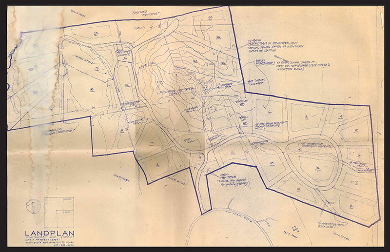
Above: One of the many defeated subdivision development plans for the land that would one day become the Waskosims Rock Reservation (click to enlarge).
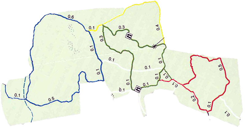
Below: A map excerpted from William Flender’s Walking Trails of Martha’s Vineyard, showing the modern trail system of the Reservation. The map has been rotated to visually correspond to the subdivision plan above. The asterisk indicates the location of the Rock, which is also indicated on the subdivision plan (just to the right of the high point of topography).